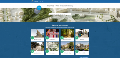
maps.vdl.lu
"Citymap – Ville de Luxembourg" offers a range of personalised, interactive tools designed to help city residents and visitors find their way around Luxembourg City and make the most of their urban experience. It is available both as a web-based and mobile app and features a host of points of interest across a wide range of categories, including art and culture, the environment, ways to get around the city, sport and leisure, urban planning and tourism.
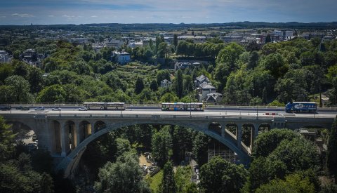
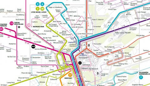
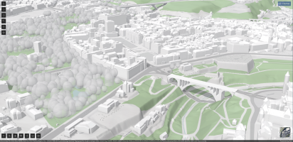
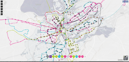
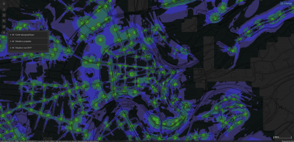
In just a few clicks, users can access a wealth of information about the city, including the City's bus network – which can be viewed either by route or as a full network map – timetables, real-time bus departures, information on air and water quality, and works currently underway in the city. There is a 3D model of the city, augmented with data on potential sunlight and simulated shade. These offer a topographic representation of the capital in the form of a contoured map, providing users with an in-depth understanding of their surroundings.
Link
Illustrations


Special Achievement in GIS
At the Esri User Conference in July 2020, the City of Luxembourg's Service Topographie et géomatique won the Special Achievement in GIS (Geographic Information System) Award for its "Citymap – Ville de Luxembourg" web-based mapping application. This prestigious distinction is awarded by Esri (Environmental Systems Research Institute) – a world leader in geographic information systems – in recognition of innovation in the field of geospatial information.