Advantages

The main advantages of this neighbourhood are:

  • its residential feel
  • close proximity to Merl Park; and
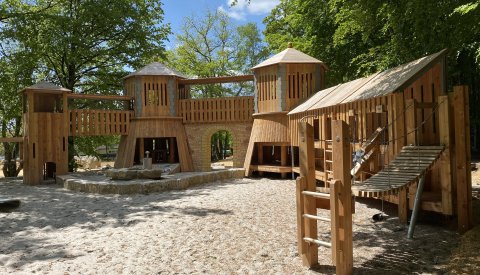
  • its many playgrounds for children.

Geographic location

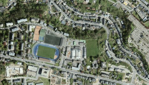
Belair has a surface area of 171.8 hectares and is located at the western edge of the capital. It borders

  • Rollingergrund/Belair-Nord to the north;
  • Ville-Haute to the east;
  • Hollerich and Merl to the south.

Two major thoroughfares make up the boundaries of this neighbourhood: Route d'Arlon to the north and Route de Longwy to the south. The latter is an extension of Avenue du X Septembre and is located in Merl. Avenue Guillaume forms the southeast border.

Population

Number of residents

  • 12,815 as at 31/12/2023
  • Demographic weight: 9.51% of the population of Luxembourg City

Population growth

  • 2016: 11,285
  • 2017: 11,397
  • 2018: 11,494
  • 2019: 11,703
  • 2020: 11,907
  • 2021: 12,139
  • 2022: 12,613

Infrastructure for children

SCHOOLS

Belair-Diderich schools
63, Avenue Gaston Diderich, L-1420 Luxembourg
19, Rue Charles IV, L-1309 Luxembourg
26A, Rue Albert Philippe, L-2331 Luxembourg
President: Yves Fisch

Further information

École de Belair-Kayser
2, Rue A. Kayser, L-1854 Luxembourg
President: Christophe Pletschette

Further information

CHILDCARE CENTRES

Foyer de Belair – Charles IV
19, Rue Charles IV, L-1327 Luxembourg

Foyer de Belair – Kayser
2, Rue Aloyse Kayser, L-1854 Luxembourg

Additional information

MUNICIPAL CRÈCHES

Crèche municipale route d'Arlon
34, Route d'Arlon, L-1140 Luxembourg

Crèche municipale Rue Schoetter
9, Rue Jean Schoetter, L-2523 Luxembourg

Further information

Other infrastructure

Culture, sports and leisure

  • 9 playgrounds
  • Centre culturel Schéiss
  • Centre sociétaire Institut Saint-Jean (community centre)
  • Josy Barthel Stadium
  • Tennis Club "Les Arquebusiers"
  • Merl/Belair sports complex
  • 2 gymnastics halls

Transport

  • 43 bus stops
  • Bus lines serving the area: 6, 8, 12, 13, 15, 28, 31, CN 2
  • 6 vel'OH! stations
  • 9 above-ground car parks
  • 18 parking spaces for people with reduced mobility

Other

  • Service Incendie et ambulances (Fire and Ambulance Department)
  • Maison de retraite Sacré-Cœur (retirement home)

History

Belair, part of the former municipality of Hollerich, became a part of Luxembourg City when the surrounding municipalities merged with the capital in 1920. It was only after the fortress was dismantled in 1867 that the neighbourhood was able to grow.

In 1887, the neighbourhood, which was initially called "Neu-Merl", had 87 residents. During the 1920s, the local Franciscan convent was built, along with social and workers housing. The church was built in the 1950s, and the area's small manufacturers were gradually pushed out. In 1956, the neighbourhood was officially named Belair. Today, Belair is a residential neighbourhood in the heart of the city.

https://maps.vdl.lu/sm/qp24_belair_en