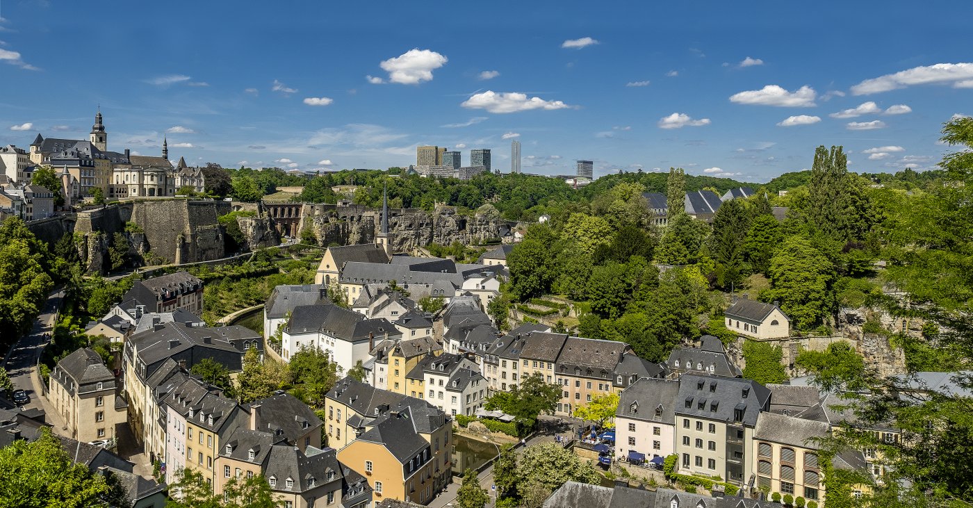
Since 2016, the VILLUX X university research project has been dedicated to creating a digital historical atlas of the capital in collaboration with the City of Luxembourg. This interactive tool traces Luxembourg's urban evolution since the mid-16th century through digital maps. Over several chronological stages, it explores the profound transformations that have forged the city: from the town still shaped by the Middle Ages in the 16th century, to the fortified city of the early 19th century, and finally to the sprawling, international metropolis of the 21th century.
Didn't find what you were looking for?
Start a new search here


